


Protected Area Management in Working Forests: Balancing Ecosystem Integrity and Production
Discover how Mayawana Persada balances working forestry and conservation: expanding set-asides to 71,000 ha, peat hydrology, and camera-trap verified wildlife.
For decades, the conventional view of nature conservation drew a hard line between pristine wilderness and working landscapes. A protected area was widely treated as an isolated green island—fenced off, untouched, and strictly separate from economic activity.
Yet field realities across the tropics tell a different story. Small, scattered pockets of preserved trees rarely survive on their own. Cut off from surrounding forests, they suffer from edge drying, genetic dead ends for native wildlife, and high vulnerability to dry-season fires.
Modern forestry science calls for a much more integrated model. In working production forests, managing a protected area is no longer about leaving plots abandoned behind warning signs. Instead, it has transformed into an active discipline of landscape ecology. Concessionaires operating under statutory Forest Utilization Business Licenses (PBPH) can deploy active ground management, hydrological control, and capital to connect commercial timber stands with high-integrity conservation zones.
In West Kalimantan, the operational footprint of PT Mayawana Persada provides a tangible blueprint of this shift—demonstrating how a commercial timber concession can systematically weave science-based conservation into its core business model.
1. Expanding the Conservation Footprint to a Landscape Scale
Ecosystems do not respect administrative plot lines, nor can wide-ranging animals thrive within postage-stamp reserves. Peat domes, in particular, function as massive contiguous hydrologic units; draining or disrupting one section inevitably drains and degrades the rest.
Recognizing these physical realities, PT Mayawana Persada—which operates across 136,710 hectares in Ketapang and North Kayong regencies under Forestry Ministerial Decree SK.723/MENHUT II/2010—chose to move far beyond minimum regulatory set-asides.
Under its revised 10-year Business Work Plan (RKU), the company has laid out a clear spatial commitment: expanding designated conservation zones from 37,000 hectares to 71,000 hectares. This reallocation places more than half of the total concession area under permanent protection. By coordinating these zones with neighboring landscape-level conservation initiatives and regional biosphere reserve frameworks, the concession ensures that protected sectors function as continuous wildlife habitats and stable, undisturbed carbon stores.
2. Real-World Field Validation: Grounding Protection in Empirical Science
Designating protected acreage on a planning map is simple; ensuring that those hectares genuinely sustain biodiversity requires constant, verifiable fieldwork. To move beyond assumptions, Mayawana Persada collaborates directly with independent researchers from the Faculty of Forestry at Universitas Tanjungpura (UNTAN)—spearheaded by Dean Dr. Ir. Farah Diba—alongside field biologists from Ecositrop.
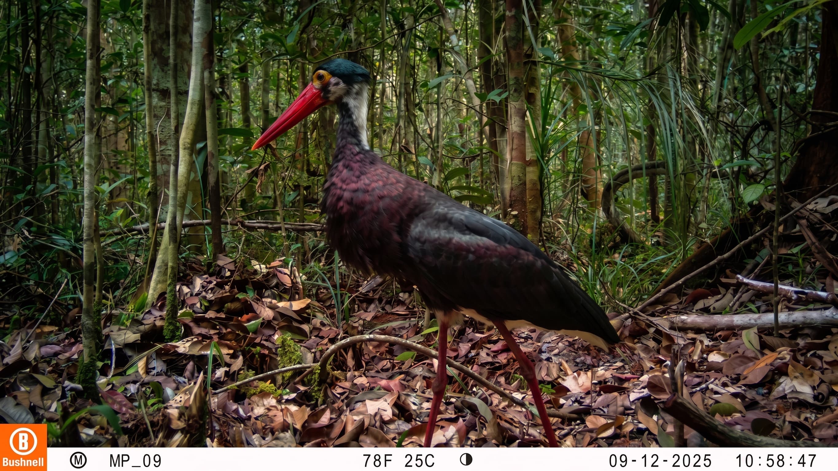
The backbone of this scientific monitoring is an extensive, non-invasive 40-camera trap network distributed across peat swamp interiors and riverine buffers:
- Endangered Flagship Species: Multi-year camera footage consistently documents active populations of Bornean orangutans (Pongo pygmaeus wurmbii) and sun bears (Helarctos malayanus). The most compelling evidence comes from regular sightings of female orangutans carrying healthy infants—a direct biological indicator that these protected forests offer ample fruit trees, safe nesting canopies, and viable breeding conditions.
- Native Peat Swamp Flora: Ground surveys have mapped and demarcated permanent sanctuaries for sensitive indigenous timber and wetland species. These include classic Dipterocarpaceae (Meranti and Keruing), alongside acid-tolerant swamp specialists like Ramin (Gonystylus bancanus), Jelutung (Dyera polyphylla), Punak (Tetramerista glabra), and thriving understory colonies of carnivorous pitcher plants (Nepenthes).
These field audits prove that the concession’s conservation areas are biologically functioning habitats sustaining complete food webs.
3. Reconnecting the Canopy: Why Continuous Wildlife Corridors Matter
For large arboreal animals like the Bornean orangutan, life unfolds almost entirely up in the trees. Orangutans depend on continuous branch networks to travel, forage for seasonal fruits, and build fresh sleeping nests each evening. When a protected area becomes an isolated fragment surrounded by cleared land, these primates are forced down to the forest floor. On the ground, their movement slows drastically, exposing them to predators, human conflict, and stress.
To prevent this ecological bottleneck, Mayawana Persada deliberately designs unbroken green corridors linking separate conservation blocks across its operating compartments.
Landscape Tier | Ecological Layer & Corridors | Core Function & Ecological Value | Field Operational Specifications |
Top Zone | Primary Peat Forest Reserve | Core intact habitat for flagship arboreal fauna (Pongo pygmaeus wurmbii, Helarctos malayanus) and deep-peat carbon sink preservation. | Designated as permanent High Conservation Value (HCV) set-asides within the 71,000 ha planned conservation spatial footprint. |
Upper Link | Contiguous Canopy Corridor | Unbroken horizontal and vertical canopy bridge enabling safe arboreal transit without forcing wildlife down to the forest floor. | Enrichment plantings with acid-tolerant native peat swamp species (Ramin, Jelutung, Punak) on a $5\times5$ m grid (~80% survival rate). |
Middle Zone | Riverine Riparian Buffer | Water catchment protection, riverbank erosion stabilization, and local micro-climate moisture regulation across waterways. | Strict non-harvesting riparian belts buffering interior peat swamp compartments from active production blocks. |
Lower Link | Dispersal Pathway & Genetic Exchange | Natural daily foraging avenues and subpopulation migration routes to prevent inbreeding depression among isolated groups. | Structural connectivity ensuring continuous branch networks, seasonal fruit availability, and unfragmented nesting trees. |
Bottom Zone | Regional Biosphere Boundary | Strategic landscape-level transition buffer linking concession conservation compartments to broader external protected areas. | Integrated spatial design aligned with regional multi-stakeholder working groups and regional biosphere reserve frameworks. |
Where historical disturbance created canopy gaps, the company runs targeted enrichment planting using native seedlings grown in its own in-situ nurseries. Planted along structured $5\times5$ meter grids, these native saplings maintain an average field survival rate of roughly 80%.
Over time, this continuous canopy architecture secures three essential ecological functions:
- Safe Transit: Arboreal wildlife can forage freely without touching the ground.
- Juvenile Dispersal: Young animals can leave maternal ranges and establish their own territories safely.
- Genetic Diversity: Dispersed subpopulations interbreed naturally, protecting populations against inbreeding depression.
4. Subsurface Peat Hydrology: Protecting the Roots of the Forest
In tropical peatlands, you cannot safeguard the trees above if you neglect the water below. Peat soils are essentially waterlogged sponges made of accumulated plant matter that hold extraordinary volumes of carbon. If canals drain this matrix too deeply, the upper peat dries out, shrinks, and exposes flammable organic material to atmospheric oxygen.
This creates prime conditions for subterranean smoldering fires (smoldering combustion)—a stubborn form of underground burning that creates little surface flame, produces choking haze, and destroys forest root systems from below.
To counteract this risk, Environment Division Lead Agus Trijoko and his team manage water levels on a daily basis under an official Peatland Restoration Document:
- Holding the 40 cm Water Threshold: Piezometer networks and automated loggers track water levels across production boundaries and conservation perimeters, keeping the average water table right at the 40-centimeter threshold. This moisture level keeps the organic sponge damp enough to block oxygen entry, preventing underground embers from catching hold.
- Sealing Canals Ahead of Drought: At the first sign of extended dry spells or seasonal El Niño events, water-management teams shut canal sluice gates and secure modular blockings, trapping millions of cubic meters of freshwater within the peat dome before water tables can drop.
Operating Metric | Target Parameter | Management Protocol & Ecological Purpose |
Groundwater Table | Maintained at ~40 cm below surface | Continuous piezometer logging to prevent upper peat layer desiccation. |
Canal Sluice Operations | 100% gate closure during dry/El Niño phases | Traps freshwater inside the peat dome to preserve subterranean moisture reserves. |
Fire Combustion Control | Elimination of subsurface smoldering | Deprives underground embers of oxygen to protect peat root matrices. |
Vegetative Hydration | Root-zone moisture stabilization | Ensures steady moisture availability for native swamp tree species (Ramin, Jelutung, Punak). |
Safeguarding Boundaries with Local Communities
Hydrological dams and boundary markers mean little without people protecting the perimeter. Mayawana Persada pairs engineering with participatory community security.
The company coordinates rapid-response fire command posts (posko siaga karhutla) and conducts daily joint patrols with residents from neighboring forest villages. These joint patrols keep a close watch on conservation borders, discouraging illegal land clearance, illegal logging, and poaching.
Equally important, conservation stewardship is tied directly to local economic well-being. Through agroforestry programs, sustainable freshwater fishing projects, and village cooperatives woven into the company's regional procurement chain, community members gain a direct, tangible livelihood stake in keeping the surrounding forest standing and healthy.
5. Auditable Governance and Global ESG Standards
Managing high-value conservation zones inside an active concession requires real transparency. To reassure international supply chains, sustainability auditors, and local stakeholders, conservation claims must hold up under objective scrutiny.
Under the direction of Sustainability Lead Muharjan, the company’s ecological data and field practices are evaluated through established international and national frameworks:
- Sustainable Forest Management (PHL) mandatory statutory benchmarks.
- IFCC/PEFC (Programme for the Endorsement of Forest Certification) standards for responsible forestry.
- ISO 14001 (Environmental Management) and SMK3 (Occupational Health & Safety) protocols.
Field metrics—ranging from camera trap records and seedling survival tallies to water-level readings—are channeled directly into formal executive Management Review Meetings (RTM). This process ensures that ecological field data translates immediately into operational adjustments on the ground.
Conclusion: A Living Blueprint for Modern Forestry
The ongoing work at PT Mayawana Persada makes one thing clear: commercial forestry and genuine nature conservation do not have to be opposing forces. A protected area inside a working production landscape should not be treated as neglected sideline space. When treated as an interconnected, science-backed ecological asset—supported by landscape-scale spatial planning, verified wildlife surveys, unbroken forest corridors, and disciplined water management—it can build real climate and ecological resilience.
By dedicating 71,000 hectares to permanent conservation and opening its operations to rigorous ESG monitoring, Mayawana Persada demonstrates a balanced path forward for tropical working forests, one where sustainable production actively finances, defends, and enriches natural ecosystems for generations to come.
FAQ
What makes a protected area inside a working forest different from a traditional nature reserve?
Rather than standing as an isolated reserve with little management, a protected area inside a working forest is an active, connected system. It is buffered by managed compartments, linked by planted canopy corridors, monitored with scientific tools like camera traps, and protected through active water control and daily community patrols.
How much conservation area is PT Mayawana Persada planning to set aside?
Through its revised Business Work Plan (RKU), the company is planning to expand its conservation set-asides from 37,000 hectares to 71,000 hectares. This represents more than half of its total 136,710-hectare concession area, creating a major contiguous buffer that aligns with regional biosphere reserve frameworks.
How does the company verify that wildlife is actually thriving in these protected areas?
In partnership with Universitas Tanjungpura (UNTAN) and Ecositrop, Mayawana Persada monitors the forest using a 40-camera trap network. The cameras have captured healthy populations of sun bears (Helarctos malayanus) and Bornean orangutans (Pongo pygmaeus wurmbii), including nursing mothers with infants—confirming that the protected blocks provide dependable food and safe nesting sites.
Read also
 Environment & Biodiversity
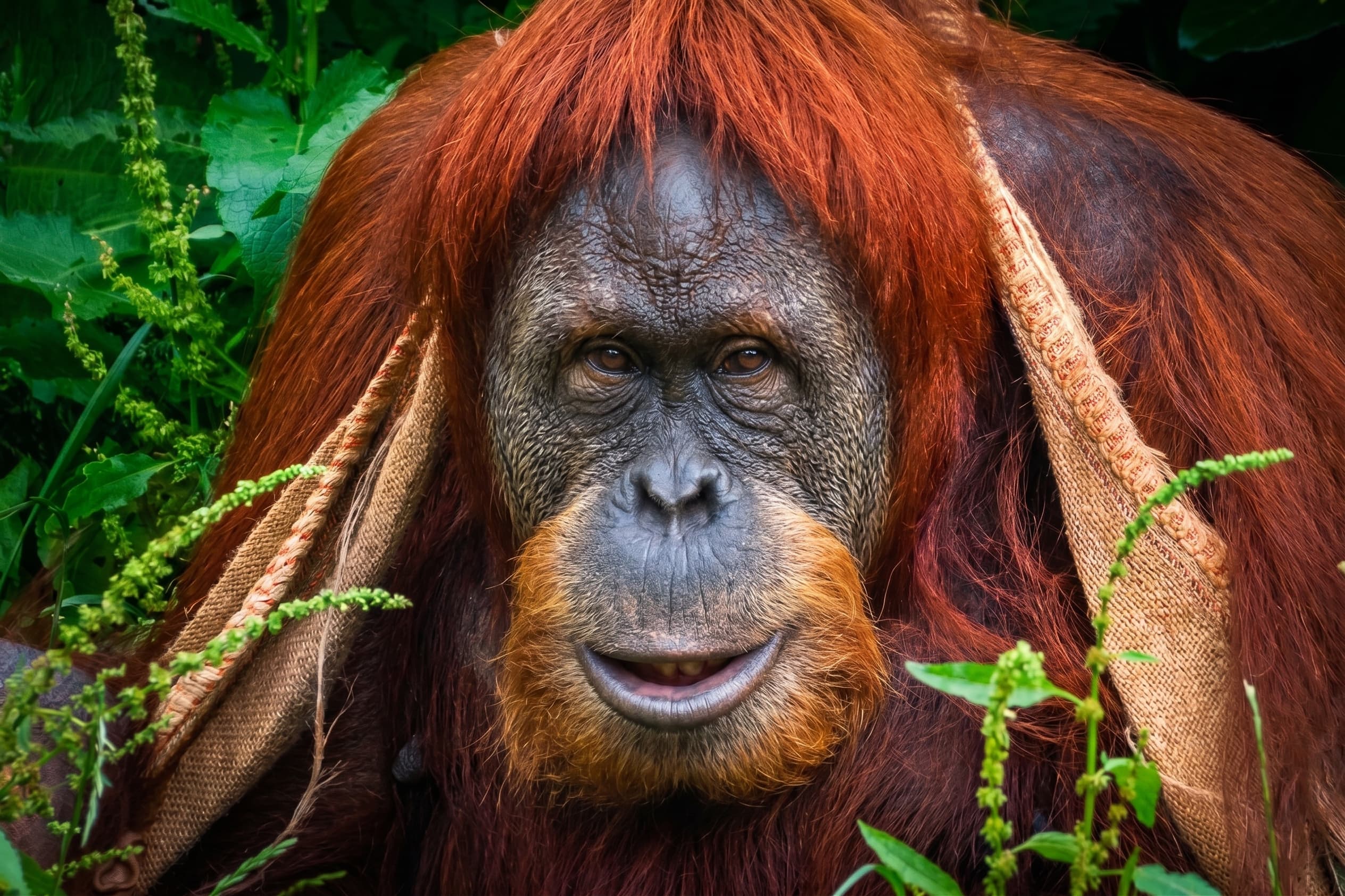
Unveiling the Bornean Orangutan: Characteristics, Behavior, Distribution, and PT Mayawana Persada’s Habitat Protection Efforts
Read more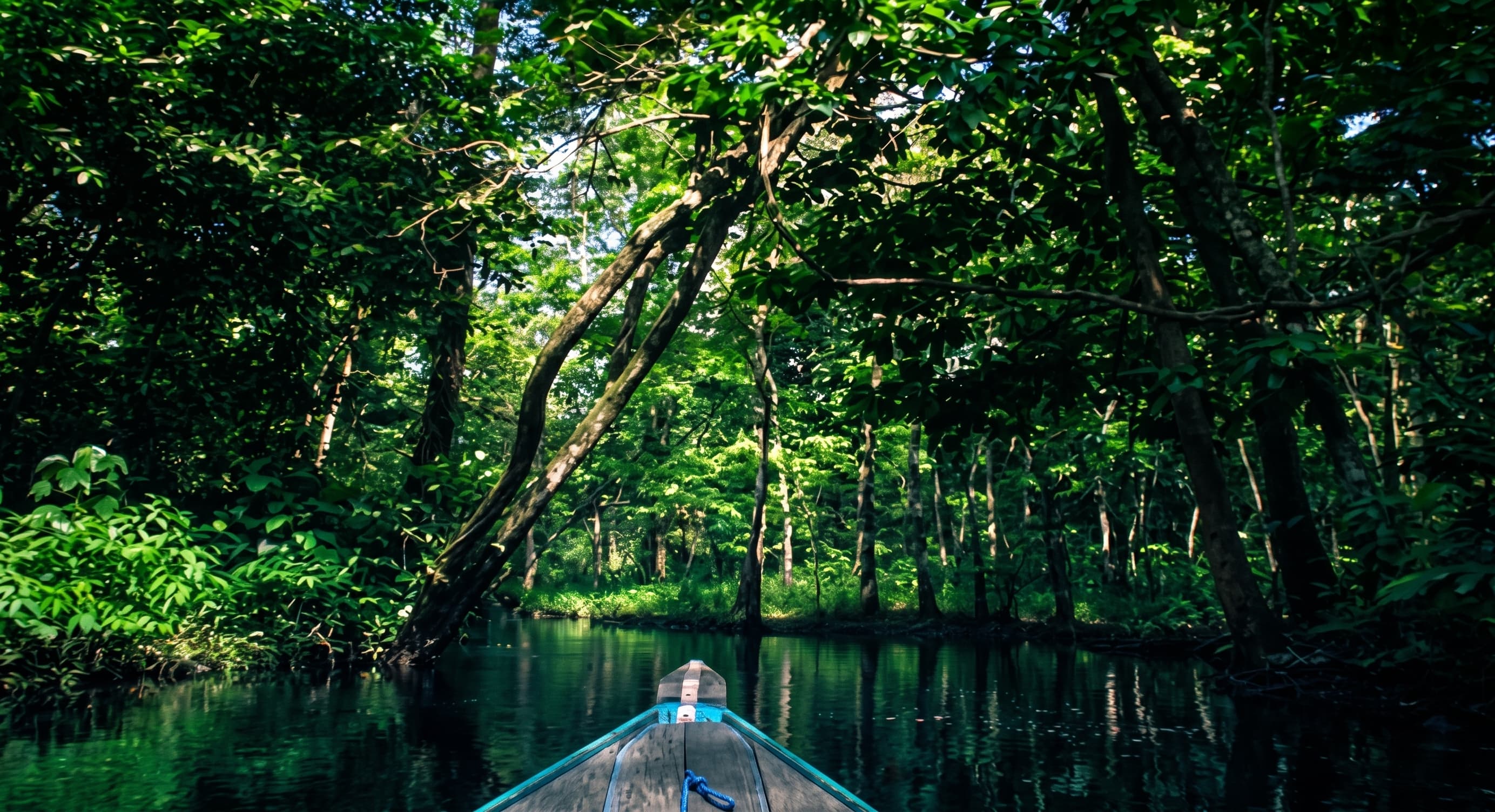 Environment & Biodiversity
Understanding Peatland: Characteristics and Environmental Importance
Read more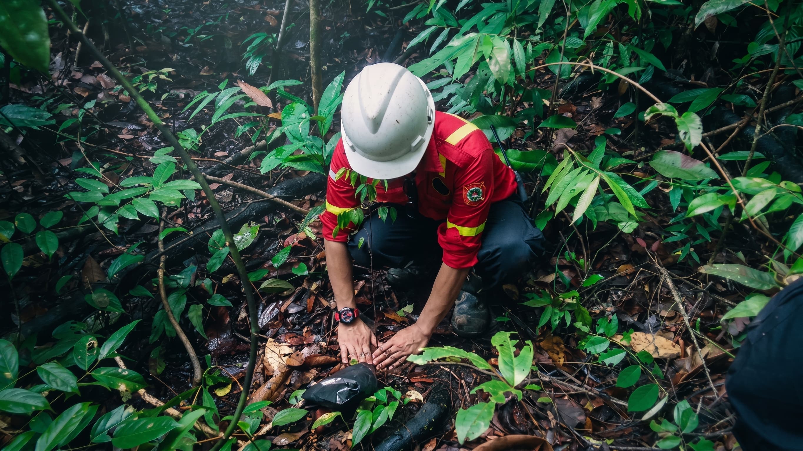 Environment & Biodiversity
Sustainable Forest Management: The Core Pillar of Forest and Environmental Conservation
Read more