


From Detection to Response: How to Achieve Effective Forest Fire Prevention
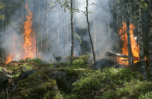
Discover how effective wildfire prevention works in sustainable tree plantations through multi-layered detection, drone verification, and P32 standards.
How is a detected hotspot deep within a forest verified as an active blaze before dispatching a response team? How do suppression crews prioritize interventions when multiple ignitions emerge simultaneously? And, just as importantly, how do managers ensure field personnel remain primed for high-stakes emergencies?
These questions highlight that forest and land fire prevention is far more than emergency fire suppression. Within sustainable tree plantations, fire prevention is managed as an integrated, continuous chain of operations: tracking microclimatic conditions, early detection, rapid ground-truthing, personnel and gear readiness, and risk-calibrated escalation.
For Mayawana, this structured strategy is essential for protecting planted stands while safeguarding adjacent high-value conservation reserves.
Multi-Tiered Early Detection: Data Does Not Automatically Mean Fire
The bedrock of wildfire prevention is the ability to detect potential ignitions at the earliest possible stage. Operational surveillance integrates diverse data feeds, including statutory hotspot tracking from Sipongi, the government's official thermal anomaly monitoring platform.
However, a satellite hotspot does not inherently signal an active wildfire. Raw satellite data must be verified on the ground because thermal anomalies can be triggered by non-fire heat signatures, such as thermal reflections radiating from corrugated zinc roofing in nearby settlements.
To prevent false alarms, PT Mayawana Persada applies a multi-layered verification framework. Satellite alerts serve as early operational cues, which are subsequently confirmed via reconnaissance drones and rapid-response ground patrols. Through this confirmation protocol, deployment decisions are based on verified intelligence rather than raw sensor anomalies.
Drones: Tactical Reconnaissance Beyond Smoke Detection

Deploying unmanned aerial vehicles (UAVs) delivers tactical benefits that reach beyond visually confirming smoke plumes. Drones provide immediate situational awareness, particularly across remote terrain that ground patrol vehicles cannot easily traverse.
Waterlogged peat, dense understory vegetation, or rugged paths can delay foot inspections. Drones allow reconnaissance teams to survey coordinates aerially, pinpointing heat origins, analyzing localized wind dispersion, and identifying accessible approach corridors for crews and fire engines.
Aerial footage is simultaneously used to map accessible water points, staging tracks, and buffer boundaries dividing plantation blocks from conservation zones. When a blaze is confirmed, UAV telemetry directly shapes the tactical containment strategy.
Assessing Vulnerability From Daily Environmental Metrics
Effective prevention extends well beyond spotting active hotspots. Concession zones are continuously audited against environmental variables that drive fuel flammability.
Ambient relative humidity, surface temperature, daily precipitation, and fuel moisture levels (such as dry twigs, leaf litter, and peat surface duff) are measured daily. These readings are cross-referenced against cumulative rainfall data tracked across the preceding 15-day window.
This cumulative analysis is critical because wildfire risk is not governed by single-day weather alone. Extended dry spells desiccate surface organic matter, transforming biomass into highly flammable fuel beds. By analyzing continuous trends, fire management teams project ground vulnerability accurately and adjust operational readiness stages in advance.
Team Readiness Grounded in National P32 Standards

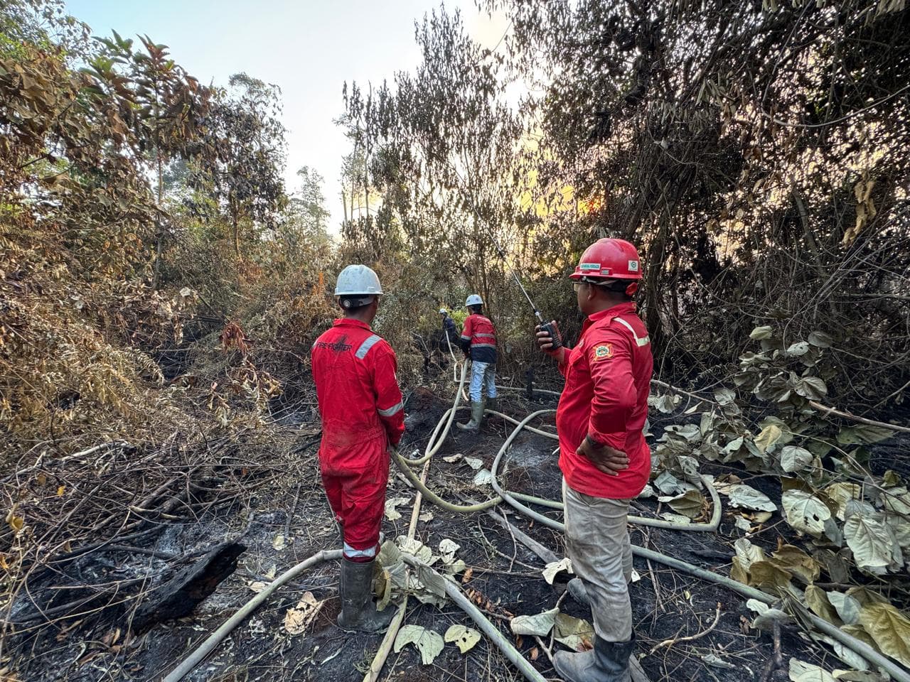
When early warnings escalate into active emergencies, containment success hinges entirely on crew agility and equipment readiness. The company formed its dedicated emergency response unit, the Fireguard team, in 2023.
Team capabilities were developed methodically, aligning personnel staffing, specialized training, and physical infrastructure with statutory Indonesian P32 fire prevention and suppression standards. Full compliance and operational readiness were achieved in early 2025.
Operational readiness requires ensuring every member instinctively executes emergency protocols. The unit conducts annual simulated emergency drills, weekly equipment maintenance audits, and continuous internal refreshers.
During standard patrols, response trucks carry pre-packed gear: drones with primary and backup flight batteries, industrial delivery hoses, portable high-pressure water pumps, and auxiliary fuel. The operational rule is strict: crews must never waste time organizing equipment after an incident is called in.
Verification Preceding Operational Escalation
Reports of smoke or thermal indicators do not trigger an immediate, full-scale deployment. Every incident is verified to confirm precise coordinates, fuel type, and fire scale. Once confirmed, deployment sizes scale to incident severity. For expansive blazes, standard protocols require a minimum initial response crew of five certified firefighters.
This staged escalation ensures resources are allocated proportionally. Strike teams deploy swiftly while preserving tactical discipline, ensuring containment actions match verified site dynamics.
Dynamic Prioritization Based on Risk Severity
Tactical decision-making becomes complex when multiple blazes ignite simultaneously across different sectors, a scenario encountered during severe dry spells in 2023.
In multi-ignition events, suppression crews are not dispatched purely in order of report arrival. Interventions are prioritized based on risk severity and potential impact, giving precedence to flare-ups burning adjacent to commercial tree plantations or vital environmental assets.
Risk-based resource allocation optimizes personnel deployments, equipment positioning, and suppression time. The primary objective is to contain threatening perimeters rapidly, preventing localized ignitions from consolidating into uncontrollable regional fires.
Wildfire Prevention as an Enterprise-Wide Responsibility
An effective fire prevention system depends on horizontal, cross-functional coordination. All operational departments working across the concession actively monitor and report smoke or suspicious heat sources.
Two-way radio communication networks ensure rapid, uninterrupted reporting between field workers and central dispatch. By turning every field worker into a vigilant observer, the likelihood of an undetected ignition is minimized. Ultimately, fire stewardship is not the exclusive domain of emergency crews; its efficacy relies on data, technology, field crews, maintenance, and communications operating as a unified system.
Next-Generation System Enhancements
Prevention infrastructure continues to evolve to meet changing environmental demands. Mayawana Persada plans to expand specialized suppression pumping capacities and integrate long-range thermal cameras across strategic watchtowers.
These planned surveillance assets will enhance early thermal detection across vast plantation landscapes. When integrated with orbital satellite monitoring, tactical drones, meteorological modeling, certified Fireguard teams, and disciplined escalation SOPs, the overarching prevention matrix becomes significantly more robust.
Fire prevention within sustainable tree plantations is never a single, reactive deed. It is an unbroken operational cycle: assessing vulnerability, detecting indicators, verifying on the ground, staging assets, prioritizing targets, and executing measured tactical responses. This integrated approach ensures fire risks are recognized early and suppressed decisively before growing into landscape-scale disasters.
Explore more details regarding our comprehensive wildfire prevention initiatives here.
FAQ
What measures does PT Mayawana Persada take to prevent forest and land fires?
Prevention is executed through an integrated framework covering environmental vulnerability monitoring, early detection, field verification, personnel and equipment readiness, routine patrols, and risk-calibrated responses. This pipeline ensures ignitions are identified immediately and contained before expanding.
How does PT Mayawana Persada carry out early fire detection?
Early detection utilizes a multi-layered surveillance model combining Sipongi satellite thermal feeds, fuel moisture assessments, physical ground patrols, and aerial drone scouting. Satellite detections serve as initial operational flags requiring ground verification, rather than definitive confirmation of an active fire.
What environmental metrics are tracked to determine fire vulnerability?
Field teams monitor ambient relative humidity, surface temperature, daily rainfall, and the condition of natural surface fuels (twigs, understory brush, and organic litter). These metrics are modeled alongside cumulative rainfall data from the preceding 15 days to calculate accurate fire danger ratings.
How is the operational readiness of the Fireguard team maintained?
Readiness is sustained through mandatory annual field drills, weekly pump and gear inspections, and continuous specialized skills training. Regular testing ensures crews and machinery remain operational for immediate emergency mobilization.
How are resources deployed when multiple fires ignite at the same time?
Incidents are triaged using a risk-based prioritization matrix rather than chronological order. Priority is assigned to ignitions posing the greatest ecological or asset threat, particularly fires burning directly adjacent to planted commercial stands, ensuring suppression assets are directed where intervention is most urgent.
Read also
 Governance & Partnership
PT Mayawana Persada Conducts Science-Based Fire Mitigation by Strengthening Peatland Hydrology Management
Read more CSR & Community
Bridging Conservation and Community Welfare in Sustainable Landscapes
Read more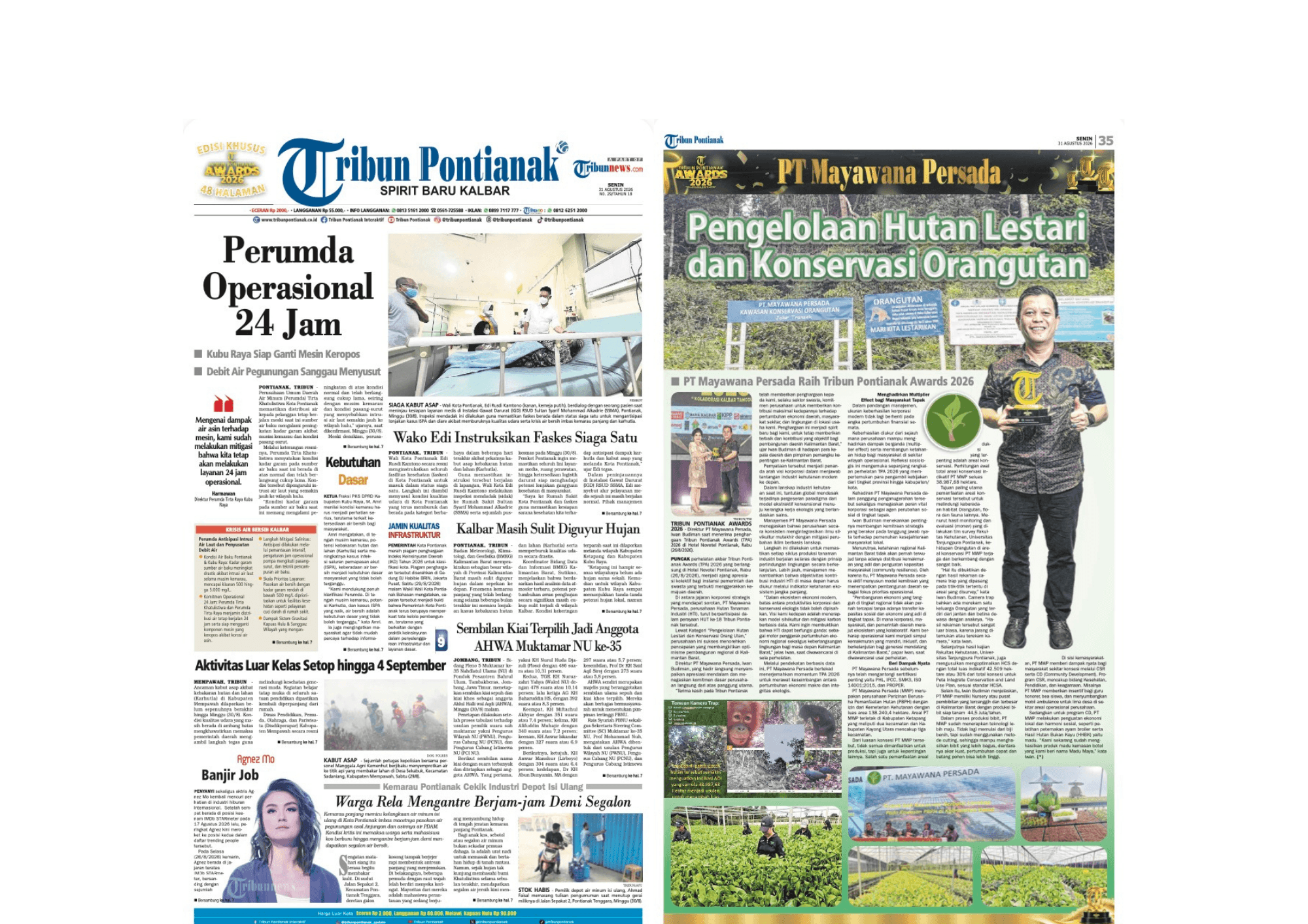 CSR & Community
PT Mayawana Persada Wins at Tribun Pontianak Awards 2026
Read more